
EPW022790 ENGLAND (1928). Imperial Chemical House and environs, Westminster, 1928

© Copyright OpenStreetMap contributors and licensed by the OpenStreetMap Foundation. 2026. Cartography is licensed as CC BY-SA.
Nearby Images (26)
EPW022790

EPW017276

EPW042212

EPW022797

EPW022791

EPW025094

EPW025096

EPW025095

EPW024758

EPW022793

EPW022794

EPW022798

EAW000529

EPW059351

EAW000526

EPW022796
 and environs, Westminster, 1928")
EPW022795
 and environs, Westminster, 1928")
EPW060783

EAW001430

EPW022792

EPW020953

EPW037971

EAW035653

EPW060791

EPW046256

EAW018330

Details
| Title | [EPW022790] Imperial Chemical House and environs, Westminster, 1928 |
| Reference | EPW022790 |
| Date | August-1928 |
| Link | |
| Place name | WESTMINSTER |
| Parish | |
| District | |
| Country | ENGLAND |
| Easting / Northing | 530229, 178978 |
| Longitude / Latitude | -0.12382708424396, 51.494241895464 |
| National Grid Reference | TQ302790 |
Pins

Alan McFaden |
Thursday 4th of December 2014 09:45:55 AM | |
|
Alan McFaden |
Thursday 4th of December 2014 09:45:10 AM | |

Class31 |
Wednesday 10th of September 2014 03:37:53 PM | |
|
Class31 |
Wednesday 10th of September 2014 03:36:49 PM | |
|
Class31 |
Wednesday 10th of September 2014 03:35:21 PM | |
|
Class31 |
Wednesday 10th of September 2014 03:34:07 PM |


User Comment Contributions
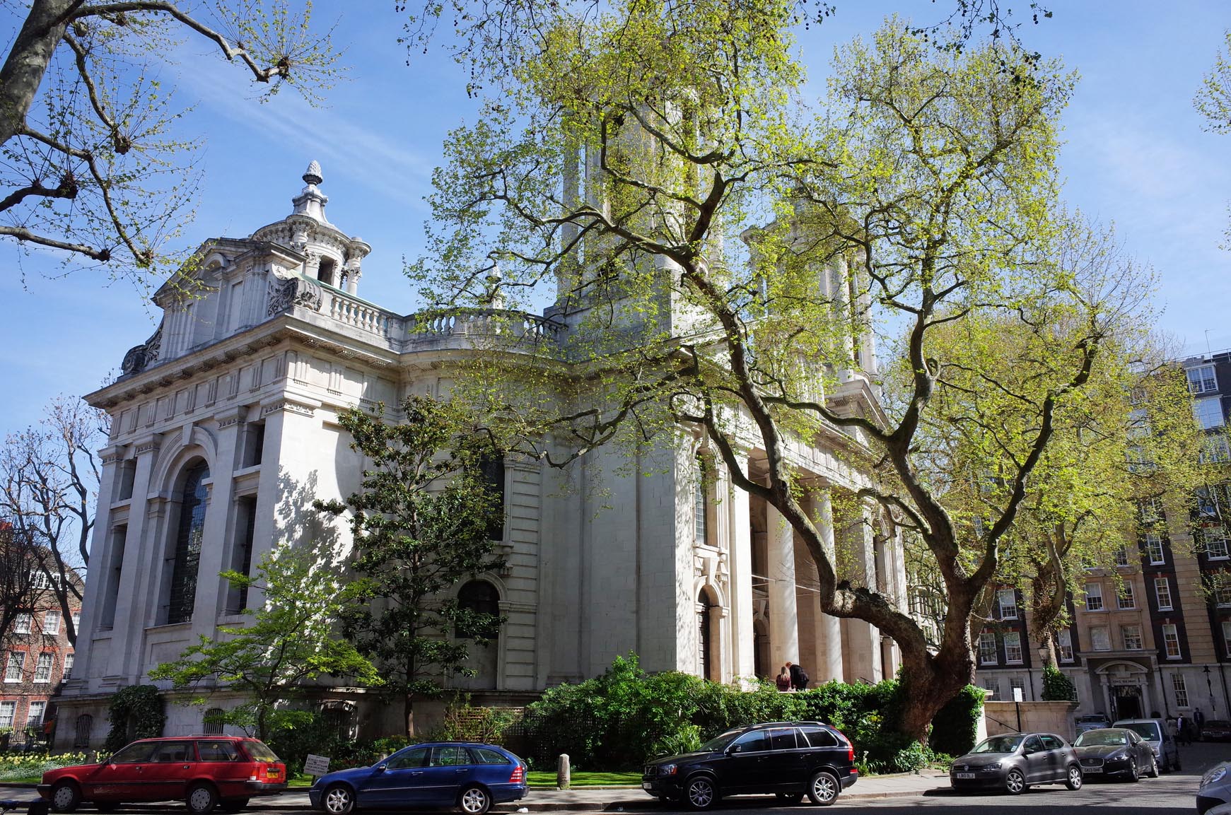
Saint John's Smith Square |
Alan McFaden |
Thursday 4th of December 2014 09:44:27 AM |
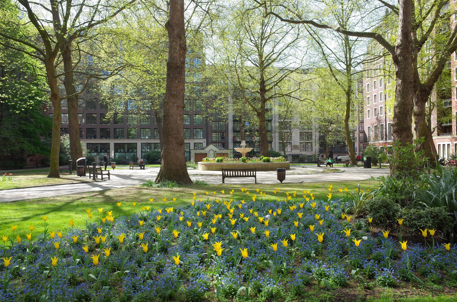
Saint John's Gardens Horseferry Road |
Alan McFaden |
Thursday 4th of December 2014 09:43:40 AM |