
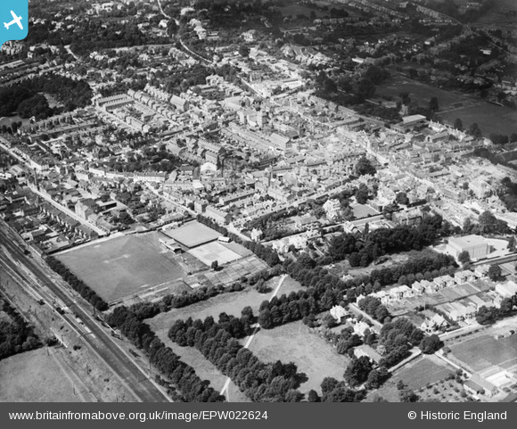
EPW022624 ENGLAND (1928). Maidenhead and environs, Maidenhead, 1928
© Copyright OpenStreetMap contributors and licensed by the OpenStreetMap Foundation. 2024. Cartography is licensed as CC BY-SA.
Nearby Images (4)
EPW022624

EPW022621

EPW000909

EAW026481
 and the town, Maidenhead, from the south, 1949")
Details
| Title | [EPW022624] Maidenhead and environs, Maidenhead, 1928 |
| Reference | EPW022624 |
| Date | 15-August-1928 |
| Link | |
| Place name | MAIDENHEAD |
| Parish | |
| District | |
| Country | ENGLAND |
| Easting / Northing | 488957, 181039 |
| Longitude / Latitude | -0.71770397473946, 51.520774129184 |
| National Grid Reference | SU890810 |
Pins
 misterjohn |
Monday 2nd of January 2023 12:01:05 PM | |
misterjohn |
Monday 2nd of January 2023 11:59:00 AM | |
misterjohn |
Monday 2nd of January 2023 11:58:42 AM | |
rodney jefferies |
Sunday 2nd of May 2021 03:29:46 PM | |
Phil Mead |
Friday 7th of February 2020 06:39:42 PM | |
Chris |
Saturday 5th of March 2016 12:51:58 PM | |
Chris |
Saturday 5th of March 2016 12:51:03 PM | |
Chris |
Saturday 5th of March 2016 12:49:20 PM | |
flubber |
Monday 2nd of July 2012 05:10:29 PM | |
flubber |
Monday 2nd of July 2012 05:08:37 PM |