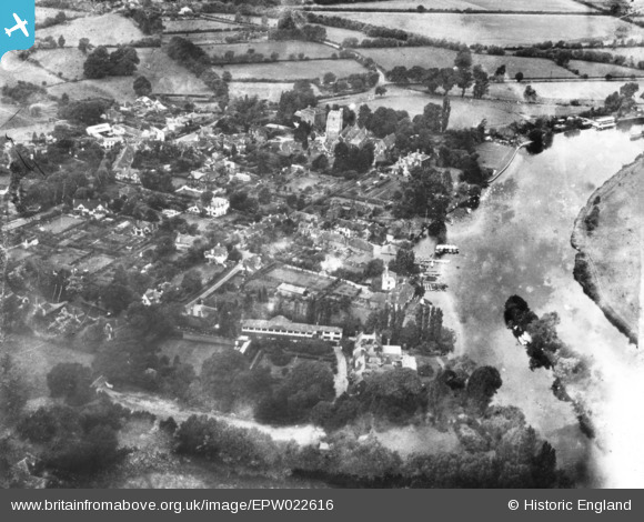
EPW022616 ENGLAND (1928). The village, Bray, 1928. This image has been produced from a damaged print.
    © Copyright OpenStreetMap contributors and licensed by the OpenStreetMap Foundation. 2025. Cartography is licensed as CC BY-SA.
  
Nearby Images (7)
Details
| Title | [EPW022616] The village, Bray, 1928. This image has been produced from a damaged print. | 
| Reference | EPW022616 | 
| Date | 11-August-1928 | 
| Link | |
| Place name | BRAY | 
| Parish | BRAY | 
| District | |
| Country | ENGLAND | 
| Easting / Northing | 490367, 179672 | 
| Longitude / Latitude | -0.69773527454782, 51.508260697137 | 
| National Grid Reference | SU904797 | 
Pins
Be the first to add a comment to this image!
 
             
  ![[EPW022616] The village, Bray, 1928. This image has been produced from a damaged print.](http://britainfromabove.org.uk/sites/all/libraries/aerofilms-images/public/100x100/EPW/022/EPW022616.jpg) 
  
                                          ![[EPW022614] The village and the River Thames, Bray, 1928](http://britainfromabove.org.uk/sites/all/libraries/aerofilms-images/public/100x100/EPW/022/EPW022614.jpg) 
 ![[EPW022617] Hotel de Paris, Bray, 1928](http://britainfromabove.org.uk/sites/all/libraries/aerofilms-images/public/100x100/EPW/022/EPW022617.jpg) 
 ![[EPW036181] St Michael's Church and the village centre, Bray, 1931](http://britainfromabove.org.uk/sites/all/libraries/aerofilms-images/public/100x100/EPW/036/EPW036181.jpg) 
 ![[EAW003807] Flooding around the village, Bray, 1947](http://britainfromabove.org.uk/sites/all/libraries/aerofilms-images/public/100x100/EAW/003/EAW003807.jpg) 
 ![[EAW056568] The village, Bray, 1954](http://britainfromabove.org.uk/sites/all/libraries/aerofilms-images/public/100x100/EAW/056/EAW056568.jpg) 
 ![[EPW022615] The village, Bray, 1928](http://britainfromabove.org.uk/sites/all/libraries/aerofilms-images/public/100x100/EPW/022/EPW022615.jpg)