
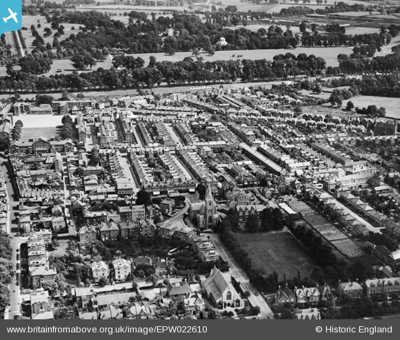
EPW022610 ENGLAND (1928). The town centre, Windsor, 1928
© Copyright OpenStreetMap contributors and licensed by the OpenStreetMap Foundation. 2026. Cartography is licensed as CC BY-SA.
Nearby Images (5)
EPW022610

EPW001596

EAW052998

EPW022604

EPW037034

Details
| Title | [EPW022610] The town centre, Windsor, 1928 |
| Reference | EPW022610 |
| Date | 11-August-1928 |
| Link | |
| Place name | WINDSOR |
| Parish | |
| District | |
| Country | ENGLAND |
| Easting / Northing | 496523, 176370 |
| Longitude / Latitude | -0.60995260156109, 51.47755791654 |
| National Grid Reference | SU965764 |
Pins

janeyflute |
Saturday 27th of August 2016 10:26:14 AM | |
|
Patrick |
Tuesday 9th of September 2014 10:23:51 PM | |
|
Patrick |
Tuesday 9th of September 2014 10:22:18 PM | |
...although of course at the time this aerial view was taken it was Windsor's Magistrates Court, Police Station and Fire Station. The building remains to this day [2017] very similar, although now used as offices and, since 1981, by the Windsor Arts Centre. The foundation stone was laid in 1905 by Sir William Shipley and opened in 1907. |
Thamesweb |
Wednesday 11th of January 2017 12:02:19 PM |