
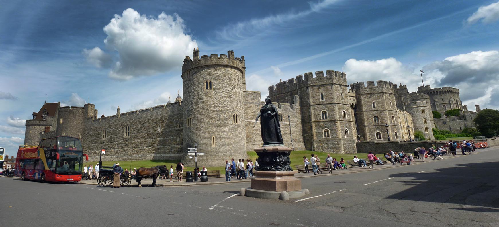
EAW052998 ENGLAND (1953). Windsor Castle and the town, Windsor, from the south, 1953

© Copyright OpenStreetMap contributors and licensed by the OpenStreetMap Foundation. 2026. Cartography is licensed as CC BY-SA.
Nearby Images (9)
EAW052998

EPW037034

EPW022610

EPW022597

EPW056588

EPW022604

EPW000035

EPW001596

EPR000458

Details
| Title | [EAW052998] Windsor Castle and the town, Windsor, from the south, 1953 |
| Reference | EAW052998 |
| Date | 19-November-1953 |
| Link | |
| Place name | WINDSOR |
| Parish | |
| District | |
| Country | ENGLAND |
| Easting / Northing | 496610, 176498 |
| Longitude / Latitude | -0.60866507695094, 51.47869376712 |
| National Grid Reference | SU966765 |
Pins
Be the first to add a comment to this image!
User Comment Contributions

Windsor and Eton Riverside Railway Station |

Alan McFaden |
Saturday 8th of November 2014 10:40:22 AM |

Windsor and Eton Central Railway Station |
Alan McFaden |
Saturday 8th of November 2014 10:39:41 AM |
Windsor Castle |
Alan McFaden |
Saturday 8th of November 2014 10:38:57 AM |