
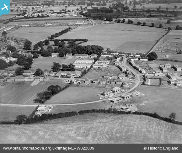
EPW022039 ENGLAND (1928). Elmwood and Attimore Road residences, Welwyn Garden City, 1928
© Copyright OpenStreetMap contributors and licensed by the OpenStreetMap Foundation. 2026. Cartography is licensed as CC BY-SA.
Nearby Images (12)
EPW022039

EPW047350

EPW047348

EPW047349

EPW022037

EPW047343

EPW047347

EPW025534

EAW035462

EPW025530

EPW054508
, Handside, 1937")
EPW047344

Details
| Title | [EPW022039] Elmwood and Attimore Road residences, Welwyn Garden City, 1928 |
| Reference | EPW022039 |
| Date | July-1928 |
| Link | |
| Place name | WELWYN GARDEN CITY |
| Parish | |
| District | |
| Country | ENGLAND |
| Easting / Northing | 522799, 212275 |
| Longitude / Latitude | -0.21912207390579, 51.795177176889 |
| National Grid Reference | TL228123 |
Pins

BfA events |
Wednesday 20th of March 2013 11:27:21 AM | |

Class31 |
Tuesday 12th of February 2013 05:43:24 PM | |
|
Class31 |
Tuesday 12th of February 2013 05:42:33 PM | |

MB |
Saturday 6th of October 2012 04:42:58 PM | |
|
MB |
Saturday 6th of October 2012 04:41:41 PM | |
|
MB |
Saturday 6th of October 2012 04:38:33 PM | |
|
MB |
Saturday 6th of October 2012 04:37:57 PM | |
|
MB |
Saturday 6th of October 2012 04:36:58 PM | |
|
MB |
Saturday 6th of October 2012 04:36:03 PM |
User Comment Contributions
Just off shot, below the aircraft, was the A1 - the Great North Road. The photographer is looking east, roughly |
MB |
Saturday 6th of October 2012 04:45:37 PM |