
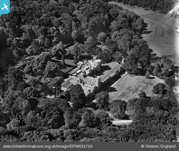
EPW021710 ENGLAND (1928). Caerhays Castle, Caerhays, 1928
© Copyright OpenStreetMap contributors and licensed by the OpenStreetMap Foundation. 2026. Cartography is licensed as CC BY-SA.
Nearby Images (2)
EPW021710

EPW021711

Details
| Title | [EPW021710] Caerhays Castle, Caerhays, 1928 |
| Reference | EPW021710 |
| Date | 24-June-1928 |
| Link | |
| Place name | CAERHAYS |
| Parish | ST. MICHAEL CAERHAYS |
| District | |
| Country | ENGLAND |
| Easting / Northing | 197119, 41619 |
| Longitude / Latitude | -4.8454988760677, 50.239072183656 |
| National Grid Reference | SW971416 |
Pins
Be the first to add a comment to this image!