
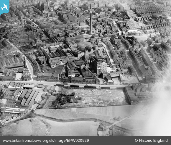
EPW020929 ENGLAND (1928). The Star Brewey and environs, New Basford, 1928
© Copyright OpenStreetMap contributors and licensed by the OpenStreetMap Foundation. 2026. Cartography is licensed as CC BY-SA.
Nearby Images (6)
EPW020929

EPW013011

EPW020928

EPW006125

EPW012652

EPW006126

Details
| Title | [EPW020929] The Star Brewey and environs, New Basford, 1928 |
| Reference | EPW020929 |
| Date | April-1928 |
| Link | |
| Place name | NEW BASFORD |
| Parish | |
| District | |
| Country | ENGLAND |
| Easting / Northing | 455577, 342043 |
| Longitude / Latitude | -1.172294080127, 52.972545282416 |
| National Grid Reference | SK556420 |
Pins

Riddo27 |
Thursday 22nd of July 2021 05:00:28 PM | |
|
Riddo27 |
Thursday 22nd of July 2021 04:54:52 PM | |
|
Riddo27 |
Thursday 22nd of July 2021 04:53:33 PM | |
|
John Wass |
Sunday 14th of June 2015 03:20:08 PM |