
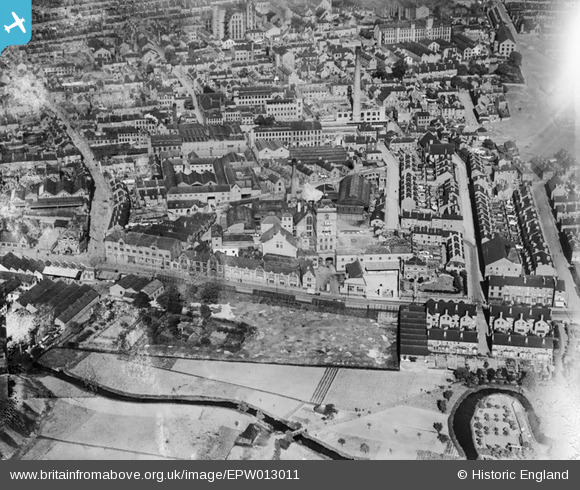
EPW013011 ENGLAND (1925). The Star Brewery, New Basford, 1925
© Copyright OpenStreetMap contributors and licensed by the OpenStreetMap Foundation. 2026. Cartography is licensed as CC BY-SA.
Nearby Images (6)
EPW013011

EPW020929

EPW020928

EPW006125

EPW012652

EPW006126

Details
| Title | [EPW013011] The Star Brewery, New Basford, 1925 |
| Reference | EPW013011 |
| Date | June-1925 |
| Link | |
| Place name | NEW BASFORD |
| Parish | |
| District | |
| Country | ENGLAND |
| Easting / Northing | 455583, 342048 |
| Longitude / Latitude | -1.1722038737008, 52.972589606892 |
| National Grid Reference | SK556420 |
Pins
Be the first to add a comment to this image!