
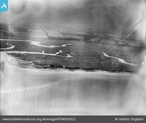
EPW020511 ENGLAND (1928). Southampton Water mud flats, Calshot, from the north-east, 1928
© Copyright OpenStreetMap contributors and licensed by the OpenStreetMap Foundation. 2026. Cartography is licensed as CC BY-SA.
Nearby Images (2)
EPW020511

EPW020488

Details
| Title | [EPW020511] Southampton Water mud flats, Calshot, from the north-east, 1928 |
| Reference | EPW020511 |
| Date | 16-March-1928 |
| Link | |
| Place name | CALSHOT |
| Parish | FAWLEY |
| District | |
| Country | ENGLAND |
| Easting / Northing | 448153, 102948 |
| Longitude / Latitude | -1.3162842197791, 50.823506337182 |
| National Grid Reference | SU482029 |
Pins
Be the first to add a comment to this image!