
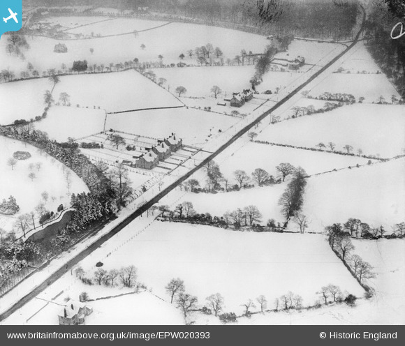
EPW020393 ENGLAND (1928). Snow around Whirlowdale Road, Whirlow, 1928
© Copyright OpenStreetMap contributors and licensed by the OpenStreetMap Foundation. 2026. Cartography is licensed as CC BY-SA.
Nearby Images (10)
EPW020393

EPW020395

EPW020392

EAW042407

EAW042401

EAW042404
, Whirlow, 1952. This image has been produced from a damaged negative.")
EAW042402

EAW042403
, Whirlow, 1952. This image has been produced from a damaged negative.")
EAW042405

EAW042408

Details
| Title | [EPW020393] Snow around Whirlowdale Road, Whirlow, 1928 |
| Reference | EPW020393 |
| Date | March-1928 |
| Link | |
| Place name | WHIRLOW |
| Parish | |
| District | |
| Country | ENGLAND |
| Easting / Northing | 431656, 382693 |
| Longitude / Latitude | -1.524509558583, 53.339921969092 |
| National Grid Reference | SK317827 |
