
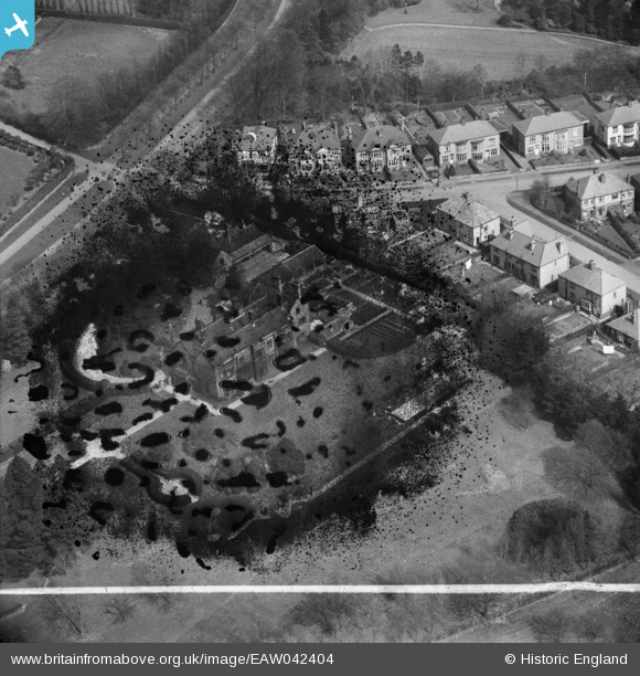
EAW042404 ENGLAND (1952). Whirlow Court (site of), Whirlow, 1952. This image has been produced from a damaged negative.
© Copyright OpenStreetMap contributors and licensed by the OpenStreetMap Foundation. 2026. Cartography is licensed as CC BY-SA.
Nearby Images (10)
EAW042404
, Whirlow, 1952. This image has been produced from a damaged negative.")
EAW042403
, Whirlow, 1952. This image has been produced from a damaged negative.")
EAW042405

EAW042402

EAW042408

EAW042401

EAW042407

EPW020395

EPW020393

EPW020394

Details
| Title | [EAW042404] Whirlow Court (site of), Whirlow, 1952. This image has been produced from a damaged negative. |
| Reference | EAW042404 |
| Date | 17-April-1952 |
| Link | |
| Place name | WHIRLOW |
| Parish | |
| District | |
| Country | ENGLAND |
| Easting / Northing | 431616, 382887 |
| Longitude / Latitude | -1.5250909823693, 53.34166830364 |
| National Grid Reference | SK316829 |
Pins
Be the first to add a comment to this image!