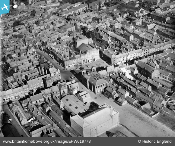
EPW019778 ENGLAND (1927). The Market Place, Morpeth, 1927
© Copyright OpenStreetMap contributors and licensed by the OpenStreetMap Foundation. 2026. Cartography is licensed as CC BY-SA.
Details
| Title | [EPW019778] The Market Place, Morpeth, 1927 |
| Reference | EPW019778 |
| Date | 18-October-1927 |
| Link | |
| Place name | MORPETH |
| Parish | MORPETH |
| District | |
| Country | ENGLAND |
| Easting / Northing | 419830, 585964 |
| Longitude / Latitude | -1.6886747304604, 55.167538901617 |
| National Grid Reference | NZ198860 |
Pins
User Comment Contributions

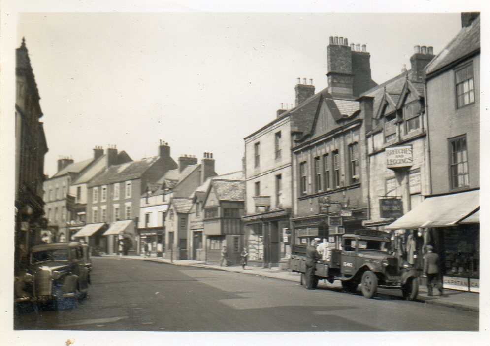
A snapshot of Morpeth taken in June or July 1939. "Newgate Street" was taken looking north. We now know where to purchase Breeches and Leggings. |

Class31 |
Tuesday 6th of May 2014 05:09:30 PM |

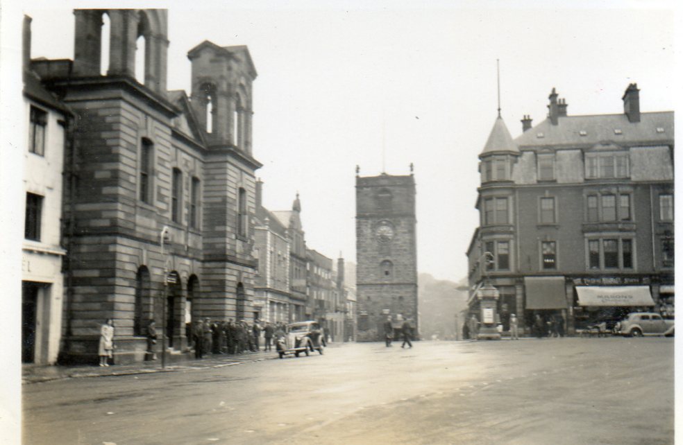
A snapshot of Morpeth taken in June or July 1939. " The Market Place" was taken looking west. |

Class31 |
Tuesday 6th of May 2014 04:56:46 PM |


![[EPW019778] The Market Place, Morpeth, 1927](http://britainfromabove.org.uk/sites/all/libraries/aerofilms-images/public/100x100/EPW/019/EPW019778.jpg)
![[EPW019777] The New and Old Bridges, Morpeth, 1927](http://britainfromabove.org.uk/sites/all/libraries/aerofilms-images/public/100x100/EPW/019/EPW019777.jpg)
![[EPW019780] Castle Square and the New Bridge, Morpeth, 1927](http://britainfromabove.org.uk/sites/all/libraries/aerofilms-images/public/100x100/EPW/019/EPW019780.jpg)