
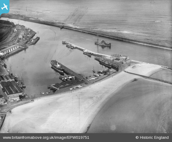
EPW019751 ENGLAND (1927). The South Harbour, Blyth, 1927
© Copyright OpenStreetMap contributors and licensed by the OpenStreetMap Foundation. 2026. Cartography is licensed as CC BY-SA.
Nearby Images (6)
EPW019751

EAW052312

EPW019753

EPW048821

EPW048836

EPW019746

Details
| Title | [EPW019751] The South Harbour, Blyth, 1927 |
| Reference | EPW019751 |
| Date | 18-October-1927 |
| Link | |
| Place name | BLYTH |
| Parish | BLYTH |
| District | |
| Country | ENGLAND |
| Easting / Northing | 432288, 580646 |
| Longitude / Latitude | -1.4937000140313, 55.119091673038 |
| National Grid Reference | NZ323806 |
Pins
Be the first to add a comment to this image!