
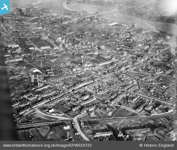
EPW019723 ENGLAND (1927). Moor Street and the town, Burton Upon Trent, 1927
© Copyright OpenStreetMap contributors and licensed by the OpenStreetMap Foundation. 2026. Cartography is licensed as CC BY-SA.
Nearby Images (7)
EPW019723

EPW020890

EPW005827

EPW019722

EAW044102

EPW005819

EAW044099

Details
| Title | [EPW019723] Moor Street and the town, Burton Upon Trent, 1927 |
| Reference | EPW019723 |
| Date | October-1927 |
| Link | |
| Place name | BURTON UPON TRENT |
| Parish | BURTON |
| District | |
| Country | ENGLAND |
| Easting / Northing | 424466, 322909 |
| Longitude / Latitude | -1.6370517379711, 52.802849639152 |
| National Grid Reference | SK245229 |
Pins
Be the first to add a comment to this image!