
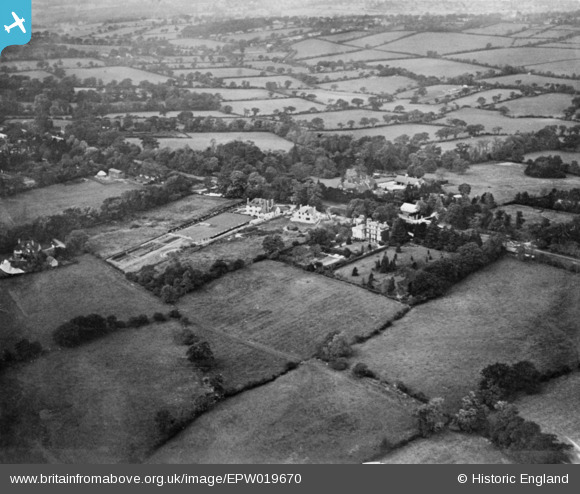
EPW019670 ENGLAND (1927). Totteridge Common and the surrounding countryside, Totteridge, 1927. This image has been produced from a copy-negative.
© Copyright OpenStreetMap contributors and licensed by the OpenStreetMap Foundation. 2026. Cartography is licensed as CC BY-SA.
Nearby Images (13)
EPW019670

EPW019632

EPW019669

EPW019638

EPW019671

EPW019679

EPW019676

EPW019674

EPW019673

EPW019639

EPW019631

EPW019675

EPW019634

Details
| Title | [EPW019670] Totteridge Common and the surrounding countryside, Totteridge, 1927. This image has been produced from a copy-negative. |
| Reference | EPW019670 |
| Date | 18-October-1927 |
| Link | |
| Place name | TOTTERIDGE |
| Parish | |
| District | |
| Country | ENGLAND |
| Easting / Northing | 523637, 194125 |
| Longitude / Latitude | -0.21341649430994, 51.631864177221 |
| National Grid Reference | TQ236941 |
Pins
Be the first to add a comment to this image!