
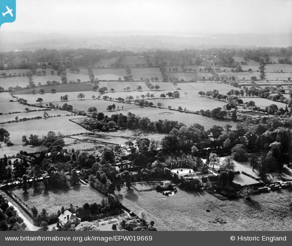
EPW019669 ENGLAND (1927). Totteridge Park and environs, Totteridge, from the north, 1927
© Copyright OpenStreetMap contributors and licensed by the OpenStreetMap Foundation. 2026. Cartography is licensed as CC BY-SA.
Nearby Images (13)
EPW019669

EPW019632

EPW019670

EPW019638

EPW019679

EPW019676

EPW019671

EPW019674

EPW019673

EPW019639

EPW019631

EPW019675

EPW019634

Details
| Title | [EPW019669] Totteridge Park and environs, Totteridge, from the north, 1927 |
| Reference | EPW019669 |
| Date | 18-October-1927 |
| Link | |
| Place name | TOTTERIDGE |
| Parish | |
| District | |
| Country | ENGLAND |
| Easting / Northing | 523628, 194140 |
| Longitude / Latitude | -0.21354118060919, 51.632000974343 |
| National Grid Reference | TQ236941 |
Pins
Be the first to add a comment to this image!