
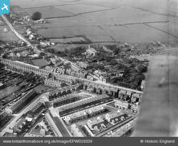
EPW019339 ENGLAND (1927). St Mary's Church and environs, Deane, 1927
© Copyright OpenStreetMap contributors and licensed by the OpenStreetMap Foundation. 2026. Cartography is licensed as CC BY-SA.
Nearby Images (4)
EPW019339

EPW019340

EPW018661

EPW018662

Details
| Title | [EPW019339] St Mary's Church and environs, Deane, 1927 |
| Reference | EPW019339 |
| Date | 27-September-1927 |
| Link | |
| Place name | DEANE |
| Parish | |
| District | |
| Country | ENGLAND |
| Easting / Northing | 369422, 408073 |
| Longitude / Latitude | -2.4617671429566, 53.568132304302 |
| National Grid Reference | SD694081 |
Pins

FrankH |
Sunday 15th of November 2020 03:20:59 PM | |
|
FrankH |
Wednesday 28th of October 2020 07:55:04 PM | |
|
FrankH |
Wednesday 28th of October 2020 07:52:19 PM | |
|
dave44 |
Friday 1st of April 2016 04:38:10 PM | |
|
dave44 |
Friday 1st of April 2016 04:37:26 PM | |
|
David Probett |
Monday 20th of May 2013 09:11:45 PM | |
|
David Probett |
Monday 20th of May 2013 09:11:21 PM |