
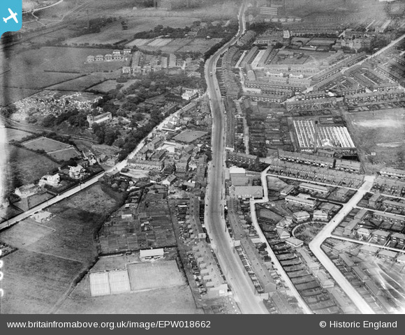
EPW018662 ENGLAND (1927). Wigan Road and environs, Deane, 1927
© Copyright OpenStreetMap contributors and licensed by the OpenStreetMap Foundation. 2026. Cartography is licensed as CC BY-SA.
Nearby Images (4)
EPW018662

EPW018661

EPW019340

EPW019339

Details
| Title | [EPW018662] Wigan Road and environs, Deane, 1927 |
| Reference | EPW018662 |
| Date | 2-July-1927 |
| Link | |
| Place name | DEANE |
| Parish | |
| District | |
| Country | ENGLAND |
| Easting / Northing | 369294, 407953 |
| Longitude / Latitude | -2.4636882391122, 53.567046139911 |
| National Grid Reference | SD693080 |
Pins

dave44 |
Monday 23rd of March 2020 03:13:41 PM | |
|
dave44 |
Monday 23rd of March 2020 03:12:51 PM | |
|
dave44 |
Monday 5th of September 2016 03:29:30 PM | |
|
Martynbowes |
Tuesday 13th of January 2015 06:44:05 PM | |
|
Martynbowes |
Tuesday 13th of January 2015 06:43:20 PM | |
|
dave44 |
Monday 18th of August 2014 02:09:28 PM |