
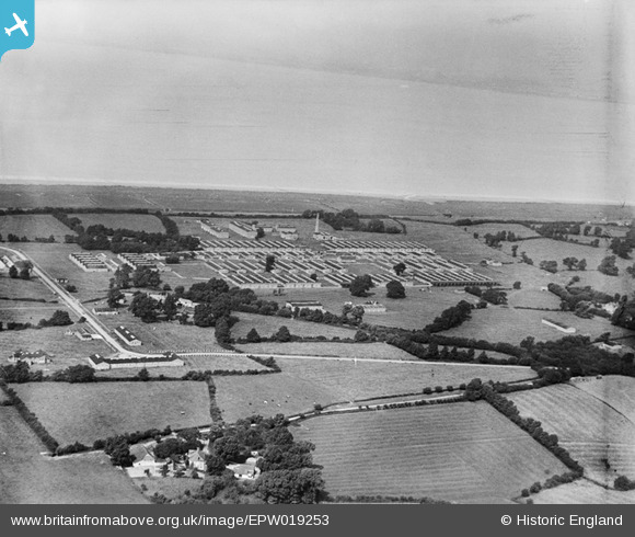
EPW019253 ENGLAND (1927). Chittening National Filling Station, Avonmouth, 1927
© Copyright OpenStreetMap contributors and licensed by the OpenStreetMap Foundation. 2026. Cartography is licensed as CC BY-SA.
Nearby Images (9)
EPW019253

EPW019260

EPW019255

EPW019258

EPW019262

EPW019256

EPW019252

EPW019254

EPW019259

Details
| Title | [EPW019253] Chittening National Filling Station, Avonmouth, 1927 |
| Reference | EPW019253 |
| Date | 1-September-1927 |
| Link | |
| Place name | AVONMOUTH |
| Parish | |
| District | |
| Country | ENGLAND |
| Easting / Northing | 353044, 181500 |
| Longitude / Latitude | -2.6769879097197, 51.529974561871 |
| National Grid Reference | ST530815 |
Pins

NicTomkins |
Monday 18th of May 2020 12:24:07 PM | |
|
NicTomkins |
Monday 18th of May 2020 12:23:32 PM | |

Class31 |
Monday 6th of August 2012 03:34:36 PM | |
|
Class31 |
Monday 6th of August 2012 03:34:15 PM |