
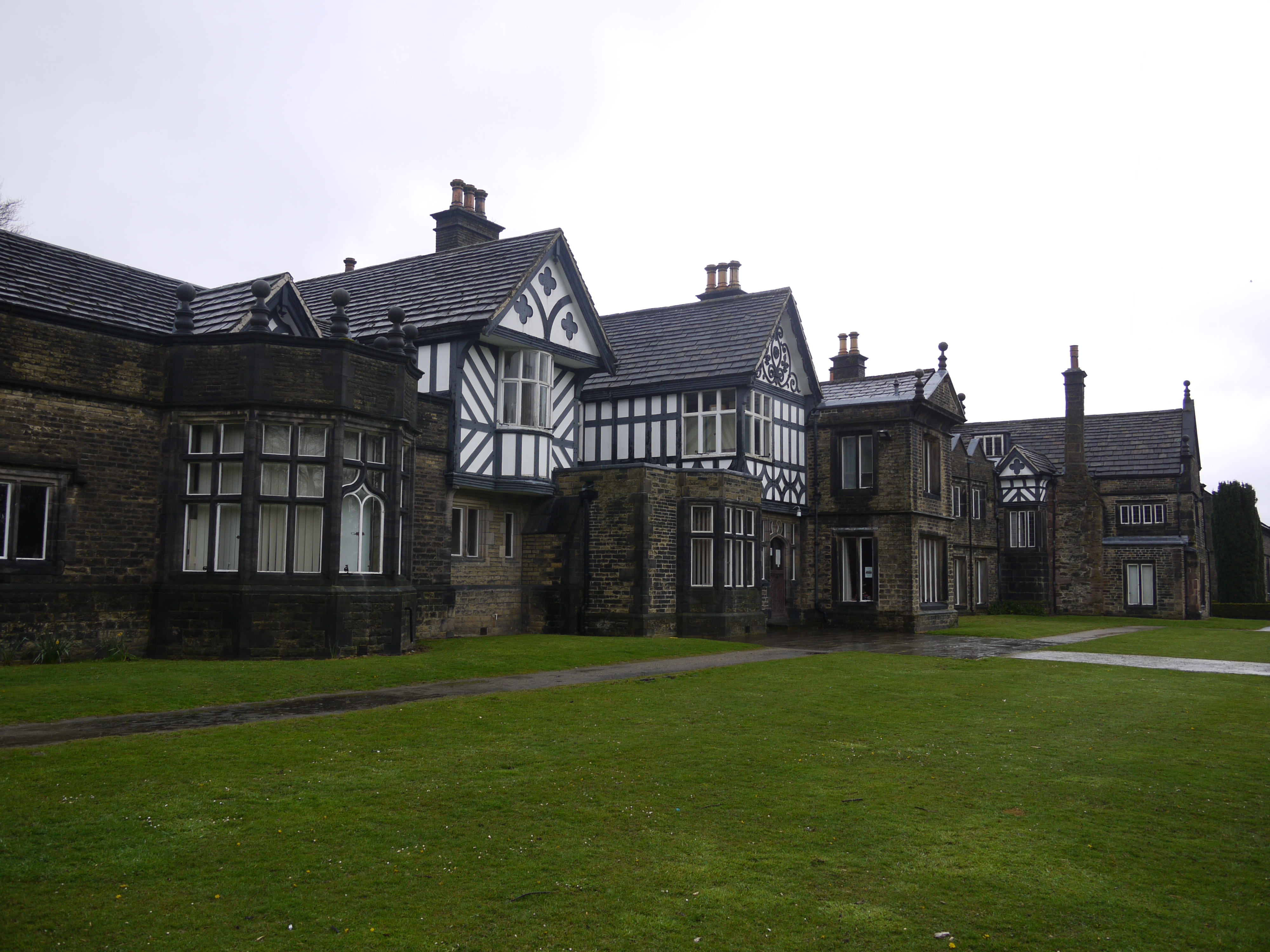
EPW018862 ENGLAND (1927). Smithill's Hall, Smithills Country Park, 1927

© Copyright OpenStreetMap contributors and licensed by the OpenStreetMap Foundation. 2026. Cartography is licensed as CC BY-SA.
Nearby Images (4)
EPW018862

EPW018861

EPW018664

EPW018663

Details
| Title | [EPW018862] Smithill's Hall, Smithills Country Park, 1927 |
| Reference | EPW018862 |
| Date | July-1927 |
| Link | |
| Place name | SMITHILLS COUNTRY PARK |
| Parish | |
| District | |
| Country | ENGLAND |
| Easting / Northing | 369939, 411868 |
| Longitude / Latitude | -2.4543257458183, 53.602275631808 |
| National Grid Reference | SD699119 |
Pins
Be the first to add a comment to this image!
User Comment Contributions
Smithill's Hall, Smithills Country Park, Bolton, 28/04/2016 |

Class31 |
Sunday 1st of May 2016 02:08:05 PM |