
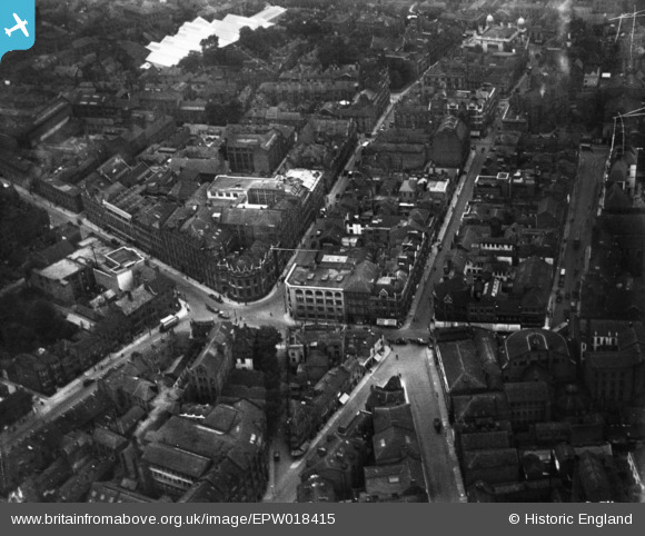
EPW018415 ENGLAND (1927). Welford Place and environs, Leicester, 1927. This image has been produced from a print.
© Copyright OpenStreetMap contributors and licensed by the OpenStreetMap Foundation. 2026. Cartography is licensed as CC BY-SA.
Nearby Images (23)
EPW018415

EPW020825

EPW020816

EPW020815

EPW018461

EPW020818

EAW051830

EPW020814

EPW020817

EPW020826

EAW024241

EPW020819

EPW020822

EPW020824

EPW055010

EAW051828

EPW047868

EPW018421

EPW061211

EPW020892

EPW047642

EPW018436

EPW008477

Details
| Title | [EPW018415] Welford Place and environs, Leicester, 1927. This image has been produced from a print. |
| Reference | EPW018415 |
| Date | 10-June-1927 |
| Link | |
| Place name | LEICESTER |
| Parish | |
| District | |
| Country | ENGLAND |
| Easting / Northing | 458734, 304171 |
| Longitude / Latitude | -1.1320880377624, 52.631759172836 |
| National Grid Reference | SK587042 |
Pins

Class31 |
Tuesday 5th of May 2015 02:17:17 PM |
