
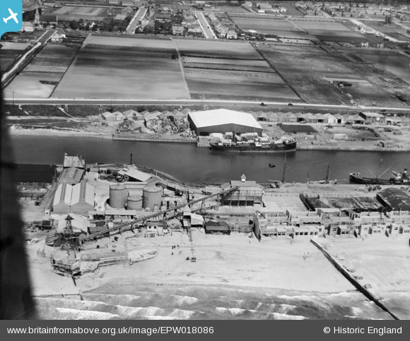
EPW018086 ENGLAND (1927). Aldrington Basin, Aldrington, 1927
© Copyright OpenStreetMap contributors and licensed by the OpenStreetMap Foundation. 2026. Cartography is licensed as CC BY-SA.
Nearby Images (3)
EPW018086

EPW017751

EPW039533

Details
| Title | [EPW018086] Aldrington Basin, Aldrington, 1927 |
| Reference | EPW018086 |
| Date | May-1927 |
| Link | |
| Place name | ALDRINGTON |
| Parish | |
| District | |
| Country | ENGLAND |
| Easting / Northing | 526641, 104691 |
| Longitude / Latitude | -0.20164969013642, 50.827326222788 |
| National Grid Reference | TQ266047 |
Pins
Be the first to add a comment to this image!