
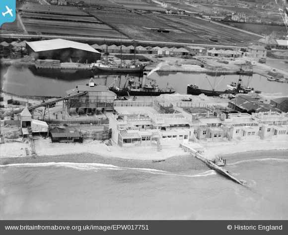
EPW017751 ENGLAND (1927). Aldrington Basin, Aldrington, 1927
© Copyright OpenStreetMap contributors and licensed by the OpenStreetMap Foundation. 2026. Cartography is licensed as CC BY-SA.
Nearby Images (3)
EPW017751

EPW018086

EPW039533

Details
| Title | [EPW017751] Aldrington Basin, Aldrington, 1927 |
| Reference | EPW017751 |
| Date | April-1927 |
| Link | |
| Place name | ALDRINGTON |
| Parish | |
| District | |
| Country | ENGLAND |
| Easting / Northing | 526656, 104596 |
| Longitude / Latitude | -0.20146961889011, 50.826468975248 |
| National Grid Reference | TQ267046 |
Pins
Be the first to add a comment to this image!