
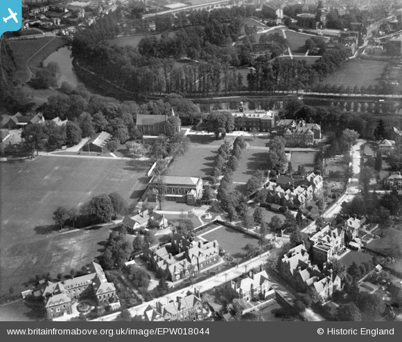
EPW018044 ENGLAND (1927). Shrewsbury School and environs, Shrewsbury, 1927
© Copyright OpenStreetMap contributors and licensed by the OpenStreetMap Foundation. 2026. Cartography is licensed as CC BY-SA.
Nearby Images (3)
EPW018044

EPW018041

EPW017978

Details
| Title | [EPW018044] Shrewsbury School and environs, Shrewsbury, 1927 |
| Reference | EPW018044 |
| Date | May-1927 |
| Link | |
| Place name | SHREWSBURY |
| Parish | SHREWSBURY |
| District | |
| Country | ENGLAND |
| Easting / Northing | 348553, 312005 |
| Longitude / Latitude | -2.7614663378442, 52.702926062045 |
| National Grid Reference | SJ486120 |

