
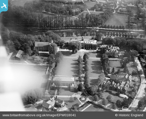
EPW018041 ENGLAND (1927). Shrewsbury School, Shrewsbury, 1927
© Copyright OpenStreetMap contributors and licensed by the OpenStreetMap Foundation. 2026. Cartography is licensed as CC BY-SA.
Nearby Images (3)
EPW018041

EPW018044

EPW017978

Details
| Title | [EPW018041] Shrewsbury School, Shrewsbury, 1927 |
| Reference | EPW018041 |
| Date | May-1927 |
| Link | |
| Place name | SHREWSBURY |
| Parish | SHREWSBURY |
| District | |
| Country | ENGLAND |
| Easting / Northing | 348570, 312037 |
| Longitude / Latitude | -2.7612197508597, 52.703215353589 |
| National Grid Reference | SJ486120 |
Pins

Class31 |
Monday 1st of October 2012 09:17:00 PM |