
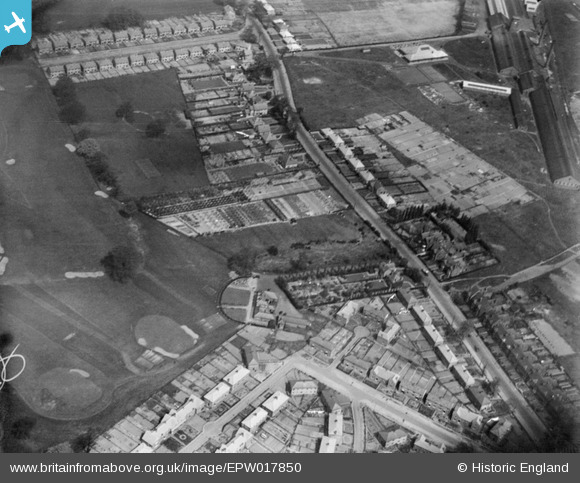
EPW017850 ENGLAND (1927). Oxley Park Golf Course Club House and environs, Wolverhampton, 1927
© Copyright OpenStreetMap contributors and licensed by the OpenStreetMap Foundation. 2026. Cartography is licensed as CC BY-SA.
Nearby Images (14)
EPW017850

EPW017845

EPW021009

EPW017852

EPW021010

EPW017850A

EPW020005

EPW020002

EAW000791

EPW054858

EPW020007

EPW020003

EPW020004

EPW054852

Details
| Title | [EPW017850] Oxley Park Golf Course Club House and environs, Wolverhampton, 1927 |
| Reference | EPW017850 |
| Date | April-1927 |
| Link | |
| Place name | WOLVERHAMPTON |
| Parish | |
| District | |
| Country | ENGLAND |
| Easting / Northing | 391180, 301129 |
| Longitude / Latitude | -2.1302598273609, 52.607516307311 |
| National Grid Reference | SJ912011 |
Pins
Be the first to add a comment to this image!