
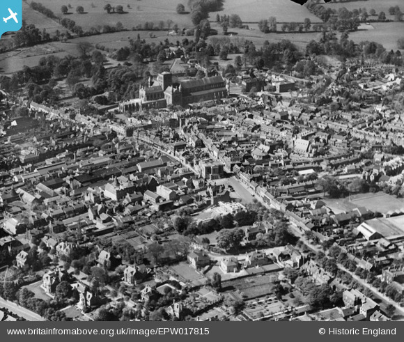
EPW017815 ENGLAND (1927). The town centre, St Albans, 1927
© Copyright OpenStreetMap contributors and licensed by the OpenStreetMap Foundation. 2026. Cartography is licensed as CC BY-SA.
Nearby Images (36)
EPW017815

EPW017816

EAW053231

EAW053232

EAW053233

EAW053234

EAW053235

EAW053236

EAW053237

EAW053238

EAW053239

EAW015570

EAW015569

EPW025386

EAW030954

EPW047108

EAW015583A

EAW048027

EPW047106

EPW047107

EPW047112

EPW025387

EPW047109

EPW047105

EPW005304

EAW015584

EPW047110

EPW047111

EPW017813

EPW019241

EPW001255

EAW015587

EPW025394

EPW017814

EPW001258

EPW017812

Details
| Title | [EPW017815] The town centre, St Albans, 1927 |
| Reference | EPW017815 |
| Date | May-1927 |
| Link | |
| Place name | ST ALBANS |
| Parish | |
| District | |
| Country | ENGLAND |
| Easting / Northing | 514752, 207235 |
| Longitude / Latitude | -0.33743368397084, 51.75158539922 |
| National Grid Reference | TL148072 |
Pins

Andantiques |
Wednesday 18th of March 2020 08:05:48 PM | |
|
Andantiques |
Wednesday 18th of March 2020 08:05:24 PM | |
|
Andantiques |
Wednesday 18th of March 2020 08:04:52 PM | |
|
Andantiques |
Wednesday 18th of March 2020 08:04:24 PM |