
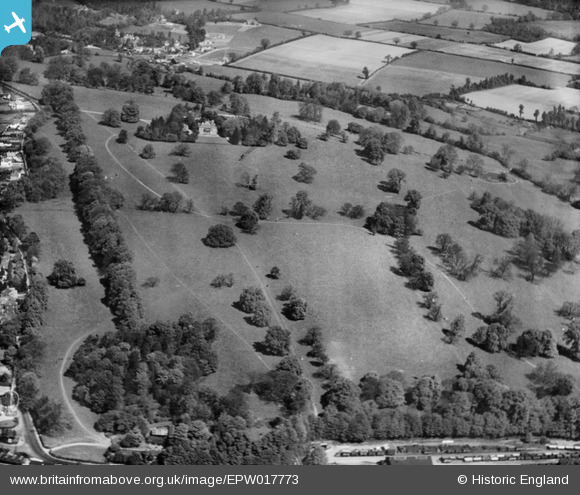
EPW017773 ENGLAND (1927). Rickmansworth Park, Rickmansworth, 1927
© Copyright OpenStreetMap contributors and licensed by the OpenStreetMap Foundation. 2026. Cartography is licensed as CC BY-SA.
Nearby Images (18)
EPW017773

EPW017775

EPW044250

EPW044247

EPW044246

EAW022712

EPW044248

EPW044249

EAW022717

EPW044245

EPW017768

EPW017772

EPW017770

EPW017766

EPW017776

EPW044251

EAW022718

EPW044252

Details
| Title | [EPW017773] Rickmansworth Park, Rickmansworth, 1927 |
| Reference | EPW017773 |
| Date | April-1927 |
| Link | |
| Place name | RICKMANSWORTH |
| Parish | |
| District | |
| Country | ENGLAND |
| Easting / Northing | 505871, 195120 |
| Longitude / Latitude | -0.4697313976797, 51.644433108632 |
| National Grid Reference | TQ059951 |
Pins
Be the first to add a comment to this image!