
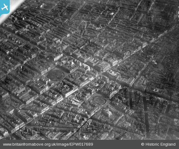
EPW017689 ENGLAND (1927). Oxford Circus and environs, Westminster, 1927
© Copyright OpenStreetMap contributors and licensed by the OpenStreetMap Foundation. 2026. Cartography is licensed as CC BY-SA.
Nearby Images (30)
EPW017689

EAW050853

EAW050861

EAW050869

EPW045398

EAW052488

EAW000560

EPW044587

EPW006000

EAW050838

EAW052487

EPW021404

EPW012747

EAW050836

EPW021934

EPW055355

EAW050856

EPW021945

EPW038463

EAW041946

EAW000559

EPW021885

EAW052486

EPW044588

EAW050840

EPW046654

EAW050859

EPW047236

EPR000200

EPW020956

Details
| Title | [EPW017689] Oxford Circus and environs, Westminster, 1927 |
| Reference | EPW017689 |
| Date | April-1927 |
| Link | |
| Place name | WESTMINSTER |
| Parish | |
| District | |
| Country | ENGLAND |
| Easting / Northing | 528972, 181293 |
| Longitude / Latitude | -0.14107932523183, 51.51533677454 |
| National Grid Reference | TQ290813 |
Pins

Peter S |
Friday 28th of April 2017 04:38:26 PM | |

Alan McFaden |
Saturday 20th of July 2013 04:30:03 PM | |
|
Alan McFaden |
Saturday 20th of July 2013 04:29:09 PM | |
|
Alan McFaden |
Saturday 20th of July 2013 04:28:34 PM | |
|
Alan McFaden |
Saturday 20th of July 2013 04:27:31 PM | |
|
Alan McFaden |
Saturday 20th of July 2013 04:22:13 PM |


