
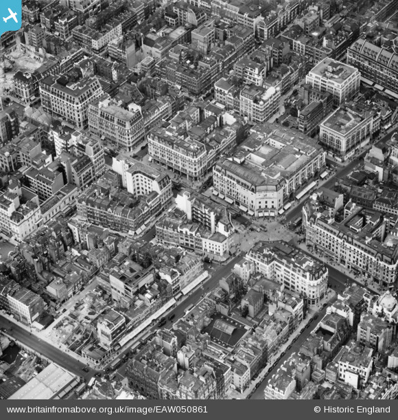
EAW050861 ENGLAND (1953). Oxford Circus and environs, Westminster, 1953
© Copyright OpenStreetMap contributors and licensed by the OpenStreetMap Foundation. 2026. Cartography is licensed as CC BY-SA.
Nearby Images (30)
EAW050861

EPW017689

EPW044587

EAW050853

EPW006000

EAW050869

EPW045398

EAW052488

EPW012747

EAW000560

EAW052487

EAW050838

EPW055355

EPW021945

EPW021934

EPW038463

EAW050836

EPW021404

EAW050856

EPW021885

EAW041946

EAW000559

EPW046654

EAW052486

EPW044588

EAW050840

EPR000200

EPW047236

EAW050859

EPW020956

Details
| Title | [EAW050861] Oxford Circus and environs, Westminster, 1953 |
| Reference | EAW050861 |
| Date | 23-July-1953 |
| Link | |
| Place name | WESTMINSTER |
| Parish | |
| District | |
| Country | ENGLAND |
| Easting / Northing | 528992, 181277 |
| Longitude / Latitude | -0.14079707758547, 51.515188403502 |
| National Grid Reference | TQ290813 |
Pins

Class31 |
Saturday 13th of September 2014 08:32:40 PM |

User Comment Contributions
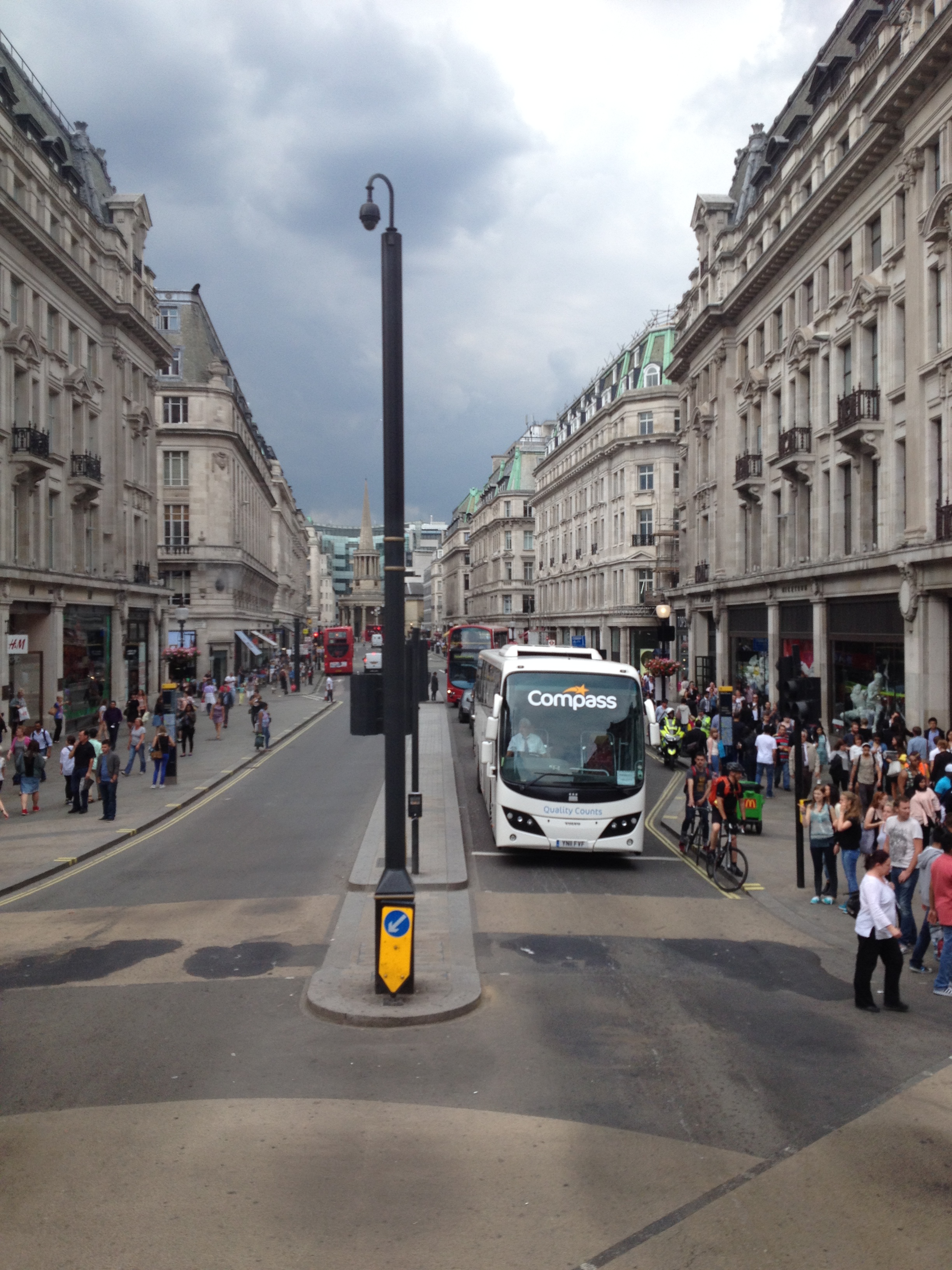
Oxford Circus looking north up Regent Street, 23/06/2014 |
Class31 |
Saturday 13th of September 2014 08:33:09 PM |