
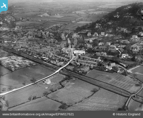
EPW017621 ENGLAND (1927). Chorley Lane and environs, Alderley Edge, 1927
© Copyright OpenStreetMap contributors and licensed by the OpenStreetMap Foundation. 2025. Cartography is licensed as CC BY-SA.
Nearby Images (3)
EPW017621

EPW017612

EPW017611

Details
| Title | [EPW017621] Chorley Lane and environs, Alderley Edge, 1927 |
| Reference | EPW017621 |
| Date | April-1927 |
| Link | |
| Place name | ALDERLEY EDGE |
| Parish | ALDERLEY EDGE |
| District | |
| Country | ENGLAND |
| Easting / Northing | 384279, 378111 |
| Longitude / Latitude | -2.2359141097277, 53.29944499984 |
| National Grid Reference | SJ843781 |
Pins

John Wass |
Tuesday 9th of December 2014 08:20:35 PM | |
|
JohnTomlinson18 |
Wednesday 26th of June 2013 05:14:19 PM | |
|
JohnTomlinson18 |
Wednesday 26th of June 2013 05:10:28 PM | |
|
JohnTomlinson18 |
Wednesday 26th of June 2013 05:09:15 PM | |
|
Alan |
Tuesday 28th of August 2012 03:30:44 PM |