
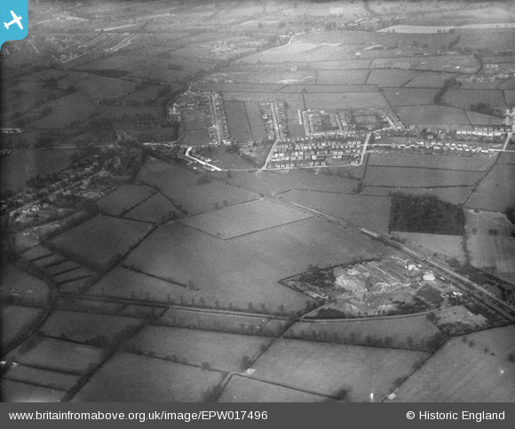
EPW017496 ENGLAND (1927). Cheam Common, Worcester Park, 1927
© Copyright OpenStreetMap contributors and licensed by the OpenStreetMap Foundation. 2026. Cartography is licensed as CC BY-SA.
Nearby Images (4)
EPW017496

EPW017491

EPW017492

EPW017329

Details
| Title | [EPW017496] Cheam Common, Worcester Park, 1927 |
| Reference | EPW017496 |
| Date | 23-March-1927 |
| Link | |
| Place name | WORCESTER PARK |
| Parish | |
| District | |
| Country | ENGLAND |
| Easting / Northing | 522282, 165457 |
| Longitude / Latitude | -0.24292729739243, 51.374485357688 |
| National Grid Reference | TQ223655 |
Pins

Southerbrooke |
Wednesday 25th of January 2017 03:47:37 PM | |
|
steve |
Thursday 13th of November 2014 08:01:46 PM | |
|
steve |
Thursday 13th of November 2014 08:00:43 PM | |
|
Smudger |
Tuesday 10th of December 2013 05:40:03 PM | |
|
Andrew Stainer |
Thursday 11th of October 2012 05:50:00 PM | |
|
Andrew Stainer |
Thursday 11th of October 2012 05:47:34 PM | |
My mistake. Holman Hunt and Milais lodged at a different Worcester Park Farm at the top of The Avenue. |
Andrew Stainer |
Friday 19th of October 2012 11:24:56 AM |
|
Andrew Stainer |
Sunday 7th of October 2012 07:27:37 PM | |

John Ellingham |
Monday 9th of July 2012 08:19:41 PM | |
|
John Ellingham |
Monday 9th of July 2012 08:18:34 PM |
User Comment Contributions
The old brickworks can be seen bottom right just to the north east of where Auriol school now is. Probably where Wolsey Close and Cardinal Close now exist. |
Ditton Don |
Thursday 28th of June 2012 08:25:44 PM |