
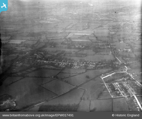
EPW017491 ENGLAND (1927). Countryside between Malden and Cheam Common, Worcester Park, from the south-east, 1927
© Copyright OpenStreetMap contributors and licensed by the OpenStreetMap Foundation. 2026. Cartography is licensed as CC BY-SA.
Nearby Images (2)
EPW017491

EPW017496

Details
| Title | [EPW017491] Countryside between Malden and Cheam Common, Worcester Park, from the south-east, 1927 |
| Reference | EPW017491 |
| Date | 23-March-1927 |
| Link | |
| Place name | WORCESTER PARK |
| Parish | |
| District | |
| Country | ENGLAND |
| Easting / Northing | 522288, 165374 |
| Longitude / Latitude | -0.24286969531149, 51.373738022351 |
| National Grid Reference | TQ223654 |
Pins

Class31 |
Thursday 6th of December 2012 08:28:27 PM | |

Andrew Stainer |
Thursday 11th of October 2012 05:46:50 PM | |
My mistake. Holman Hunt and Milais lodged at a different Worcester Park Farm at the top of The Avenue. |
Andrew Stainer |
Friday 19th of October 2012 11:23:54 AM |

John Ellingham |
Monday 9th of July 2012 08:23:08 PM | |
|
John Ellingham |
Monday 9th of July 2012 08:22:23 PM | |
|
John Ellingham |
Monday 9th of July 2012 08:21:22 PM |
User Comment Contributions
Can anyone identify the roads shown ? |
alany |
Tuesday 26th of June 2012 01:54:42 PM |