
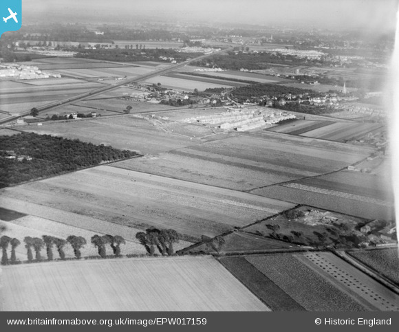
EPW017159 ENGLAND (1926). New housing at Francis Road, the Great West Road and environs, Hounslow, from the south-west, 1926
© Copyright OpenStreetMap contributors and licensed by the OpenStreetMap Foundation. 2025. Cartography is licensed as CC BY-SA.
Nearby Images (7)
EPW017159

EAW017097

EAW017102

EAW017096

EAW017103

EAW017098

EAW017100

Details
| Title | [EPW017159] New housing at Francis Road, the Great West Road and environs, Hounslow, from the south-west, 1926 |
| Reference | EPW017159 |
| Date | October-1926 |
| Link | |
| Place name | HOUNSLOW |
| Parish | |
| District | |
| Country | ENGLAND |
| Easting / Northing | 511298, 175821 |
| Longitude / Latitude | -0.39743135800599, 51.469908466175 |
| National Grid Reference | TQ113758 |
Pins

Class31 |
Thursday 23rd of July 2015 06:16:45 PM | |
|
Class31 |
Thursday 23rd of July 2015 06:15:38 PM | |
|
Class31 |
Thursday 23rd of July 2015 06:14:49 PM | |
 |
Class31 |
Wednesday 2nd of April 2014 09:38:13 AM |
|
Class31 |
Wednesday 2nd of April 2014 09:36:29 AM |


