
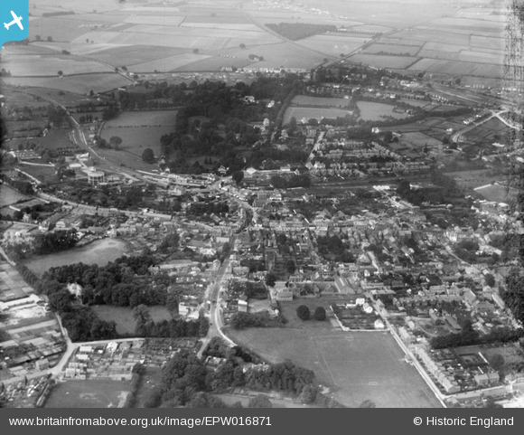
EPW016871 ENGLAND (1926). The town centre, Andover, from the east, 1926
© Copyright OpenStreetMap contributors and licensed by the OpenStreetMap Foundation. 2026. Cartography is licensed as CC BY-SA.
Nearby Images (10)
EPW016871

EPW011125

EPW023294

EPW022744

EPW011122

EPW023296

EPW011121

EPW011120

EPW011123

EPW016872

Details
| Title | [EPW016871] The town centre, Andover, from the east, 1926 |
| Reference | EPW016871 |
| Date | August-1926 |
| Link | |
| Place name | ANDOVER |
| Parish | ANDOVER |
| District | |
| Country | ENGLAND |
| Easting / Northing | 436667, 145403 |
| Longitude / Latitude | -1.4750706135834, 51.206140610142 |
| National Grid Reference | SU367454 |
Pins

gerry-r |
Sunday 4th of August 2024 06:19:35 PM | |
|
Alastair |
Saturday 10th of March 2018 07:33:33 PM | |
|
gBr |
Sunday 8th of January 2017 12:42:09 AM | |

Class31 |
Friday 3rd of April 2015 08:04:15 AM | |
|
Class31 |
Friday 3rd of April 2015 07:50:47 AM | |
|
Class31 |
Friday 3rd of April 2015 07:48:37 AM |


