
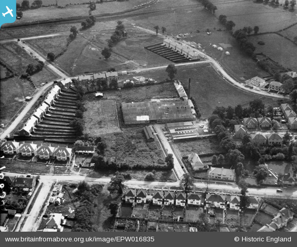
EPW016835 ENGLAND (1926). Rawlplug Works, Edgware, 1926
© Copyright OpenStreetMap contributors and licensed by the OpenStreetMap Foundation. 2026. Cartography is licensed as CC BY-SA.
Nearby Images (11)
EPW016835

EPW016841

EPW016840

EPW016832

EPW016837

EPW016834

EPW016836

EPW016839

EPW034558

EPW016833

EPW016838

Details
| Title | [EPW016835] Rawlplug Works, Edgware, 1926 |
| Reference | EPW016835 |
| Date | August-1926 |
| Link | |
| Place name | EDGWARE |
| Parish | |
| District | |
| Country | ENGLAND |
| Easting / Northing | 520669, 192158 |
| Longitude / Latitude | -0.25696089054211, 51.614829047354 |
| National Grid Reference | TQ207922 |
Pins
Be the first to add a comment to this image!