
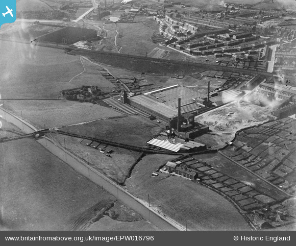
EPW016796 ENGLAND (1926). Valley Ring and Union Ring Cotton Mills, Rochdale, 1926
© Copyright OpenStreetMap contributors and licensed by the OpenStreetMap Foundation. 2025. Cartography is licensed as CC BY-SA.
Nearby Images (10)
EPW016796

EAW004234

EAW004233

EAW004232

EAW004235

EAW004230

EAW004231

EAW004236

EAW004237

EAW004238

Details
| Title | [EPW016796] Valley Ring and Union Ring Cotton Mills, Rochdale, 1926 |
| Reference | EPW016796 |
| Date | August-1926 |
| Link | |
| Place name | ROCHDALE |
| Parish | |
| District | |
| Country | ENGLAND |
| Easting / Northing | 389299, 411745 |
| Longitude / Latitude | -2.1617273608971, 53.601923051112 |
| National Grid Reference | SD893117 |
Pins

Rochdales Finest |
Thursday 28th of November 2019 02:38:21 AM | |
|
RR |
Friday 20th of May 2016 10:58:14 AM | |
|
RR |
Friday 20th of May 2016 10:57:47 AM | |
|
RR |
Friday 20th of May 2016 10:57:07 AM | |
|
HILLARY |
Saturday 16th of May 2015 01:30:45 PM | |
|
HILLARY |
Saturday 16th of May 2015 01:30:07 PM |