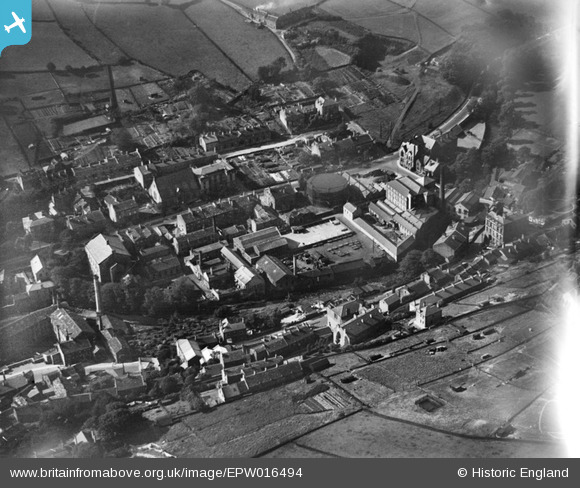
EPW016494 ENGLAND (1926). The cattle market, market place and environs, Holmfirth, 1926
© Copyright OpenStreetMap contributors and licensed by the OpenStreetMap Foundation. 2026. Cartography is licensed as CC BY-SA.
Nearby Images (3)
EPW016494

EPW016495

EPW016499

Details
| Title | [EPW016494] The cattle market, market place and environs, Holmfirth, 1926 |
| Reference | EPW016494 |
| Date | August-1926 |
| Link | |
| Place name | HOLMFIRTH |
| Parish | HOLME VALLEY |
| District | |
| Country | ENGLAND |
| Easting / Northing | 414321, 408429 |
| Longitude / Latitude | -1.7837151331858, 53.572028204194 |
| National Grid Reference | SE143084 |