
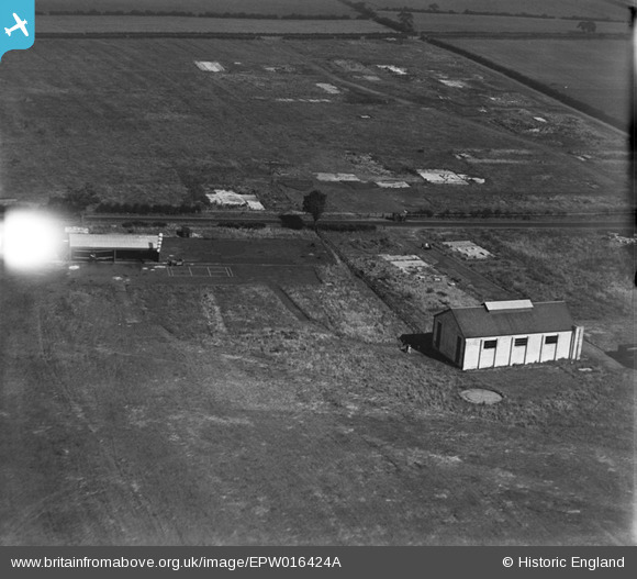
EPW016424A ENGLAND (1926). The aerodrome, Cramlington, 1926
© Copyright OpenStreetMap contributors and licensed by the OpenStreetMap Foundation. 2026. Cartography is licensed as CC BY-SA.
Nearby Images (3)
EPW016424A

EPW016425

EPW016426

Details
| Title | [EPW016424A] The aerodrome, Cramlington, 1926 |
| Reference | EPW016424A |
| Date | 29-July-1926 |
| Link | |
| Place name | CRAMLINGTON |
| Parish | CRAMLINGTON |
| District | |
| Country | ENGLAND |
| Easting / Northing | 424348, 577548 |
| Longitude / Latitude | -1.6184668916683, 55.091704038455 |
| National Grid Reference | NZ243775 |
Pins

clippedwings |
Sunday 23rd of November 2014 11:41:17 AM |