
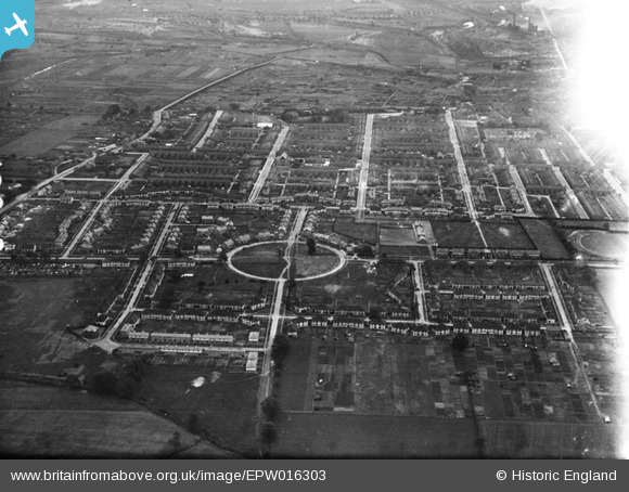
EPW016303 ENGLAND (1926). Crosby, Scunthorpe, from the west, 1926
© Copyright OpenStreetMap contributors and licensed by the OpenStreetMap Foundation. 2026. Cartography is licensed as CC BY-SA.
Nearby Images (2)
EPW016303

EPW016302

Details
| Title | [EPW016303] Crosby, Scunthorpe, from the west, 1926 |
| Reference | EPW016303 |
| Date | 14-July-1926 |
| Link | |
| Place name | SCUNTHORPE |
| Parish | |
| District | |
| Country | ENGLAND |
| Easting / Northing | 488380, 411646 |
| Longitude / Latitude | -0.6645116188394, 53.593689835168 |
| National Grid Reference | SE884116 |
