
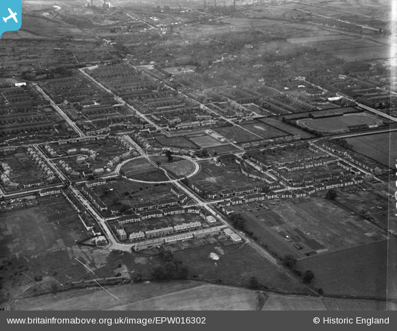
EPW016302 ENGLAND (1926). Crosby, Scunthorpe, from the north-west, 1926
© Copyright OpenStreetMap contributors and licensed by the OpenStreetMap Foundation. 2026. Cartography is licensed as CC BY-SA.
Nearby Images (2)
EPW016302

EPW016303

Details
| Title | [EPW016302] Crosby, Scunthorpe, from the north-west, 1926 |
| Reference | EPW016302 |
| Date | 14-July-1926 |
| Link | |
| Place name | SCUNTHORPE |
| Parish | |
| District | |
| Country | ENGLAND |
| Easting / Northing | 488405, 411764 |
| Longitude / Latitude | -0.66410050678526, 53.594746070253 |
| National Grid Reference | SE884118 |
Pins

DaveH |
Monday 6th of January 2020 03:49:41 PM | |
|
DaveH |
Monday 6th of January 2020 03:45:44 PM | |
|
DaveH |
Thursday 21st of November 2019 05:22:14 PM | |
|
DaveH |
Thursday 21st of November 2019 05:18:13 PM | |
|
DaveH |
Thursday 21st of November 2019 05:17:50 PM | |
|
SueSnow67 |
Saturday 30th of June 2012 10:06:06 PM | |
|
SueSnow67 |
Saturday 30th of June 2012 10:05:28 PM |