
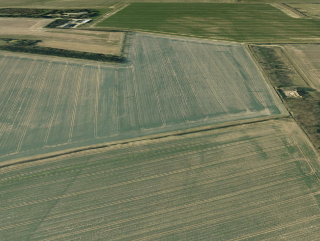
EPW016010 ENGLAND (1926). Horticultural plots, Wickhambrook, 1926

© Copyright OpenStreetMap contributors and licensed by the OpenStreetMap Foundation. 2026. Cartography is licensed as CC BY-SA.
Nearby Images (5)
EPW016010

EPW016004

EPW016009

EPW016006

EPW016008

Details
| Title | [EPW016010] Horticultural plots, Wickhambrook, 1926 |
| Reference | EPW016010 |
| Date | 1-July-1926 |
| Link | |
| Place name | WICKHAMBROOK |
| Parish | WICKHAMBROOK |
| District | |
| Country | ENGLAND |
| Easting / Northing | 574426, 256446 |
| Longitude / Latitude | 0.55137882365779, 52.178246338152 |
| National Grid Reference | TL744564 |
Pins

nkingdon |
Tuesday 12th of November 2013 09:32:32 PM | |

Class31 |
Monday 15th of October 2012 09:58:11 PM | |
It's Lidgate |
nkingdon |
Tuesday 12th of November 2013 09:31:50 PM |
|
Class31 |
Monday 15th of October 2012 09:55:10 PM | |
|
John New |
Sunday 8th of July 2012 11:02:31 PM |
User Comment Contributions
North-east of The Gesyns looking WNW |
nkingdon |
Wednesday 8th of January 2014 09:04:58 AM |
Suffolk, at last! Thanks nkingdon. We'll update the catalogue and post the new data here in due course. Yours, Katy Britain from Above Cataloguing Team Leader |
Katy Whitaker |
Wednesday 8th of January 2014 09:04:58 AM |
Another mystery solved. Excellent work nkingdon |
Class31 |
Tuesday 12th of November 2013 11:11:11 PM |
I wonder if these are asparagus beds in the vale of Evesham. There is a village there called Wickhamford. The hills in the background could e the Cotswold. Topography though is a bit more bumpy with stream valleys in this photo and the field seems to be on a plateau, which suggests not Norfolk but somewhere more undulating |
TomRobin |
Friday 10th of May 2013 09:07:39 AM |