
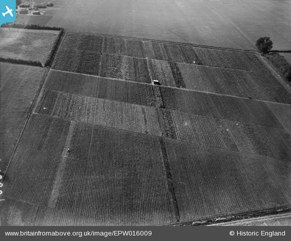
EPW016009 ENGLAND (1926). Horticultural plots, Wickhambrook, 1926
© Copyright OpenStreetMap contributors and licensed by the OpenStreetMap Foundation. 2026. Cartography is licensed as CC BY-SA.
Nearby Images (7)
EPW016009

EPW016006

EPW016010

EPW016004

EPW016008

EPW016005

EPW016011

Details
| Title | [EPW016009] Horticultural plots, Wickhambrook, 1926 |
| Reference | EPW016009 |
| Date | 1-July-1926 |
| Link | |
| Place name | WICKHAMBROOK |
| Parish | WICKHAMBROOK |
| District | |
| Country | ENGLAND |
| Easting / Northing | 574355, 256495 |
| Longitude / Latitude | 0.55036659212148, 52.178708926946 |
| National Grid Reference | TL744565 |
Pins
User Comment Contributions
Photograph taken looking north-westwards |

nkingdon |
Wednesday 8th of January 2014 09:03:56 AM |
Thanks for all the effort nkingdon. We'll update the catalogue and post the new data here in due course. Yours, Katy Britain from Above Cataloguing Team Leader |
Katy Whitaker |
Wednesday 8th of January 2014 09:03:56 AM |
Another mystery solved. Excellent work nkingdon |

Class31 |
Tuesday 12th of November 2013 11:10:55 PM |