
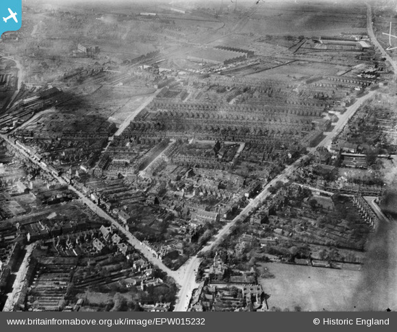
EPW015232 ENGLAND (1926). St James's Church and environs, Handsworth, 1926
© Copyright OpenStreetMap contributors and licensed by the OpenStreetMap Foundation. 2026. Cartography is licensed as CC BY-SA.
Nearby Images (9)
EPW015232

EPW015234

EPW015239

EPW015235

EPW015236

EPW015238

EPW015237

EPW015233

EPW015231

Details
| Title | [EPW015232] St James's Church and environs, Handsworth, 1926 |
| Reference | EPW015232 |
| Date | 18-April-1926 |
| Link | |
| Place name | HANDSWORTH |
| Parish | |
| District | |
| Country | ENGLAND |
| Easting / Northing | 403618, 289673 |
| Longitude / Latitude | -1.946691804255, 52.504576261765 |
| National Grid Reference | SP036897 |
Pins

Griffin |
Tuesday 19th of January 2016 05:47:46 PM | |
|
Griffin |
Tuesday 19th of January 2016 05:43:06 PM | |
|
Griffin |
Tuesday 19th of January 2016 05:22:38 PM | |
|
Griffin |
Tuesday 19th of January 2016 05:21:22 PM | |

Class31 |
Wednesday 6th of February 2013 04:26:12 PM | |
|
Class31 |
Wednesday 6th of February 2013 04:11:11 PM | |
|
Class31 |
Wednesday 6th of February 2013 04:10:48 PM | |
|
Class31 |
Wednesday 6th of February 2013 04:10:08 PM |