
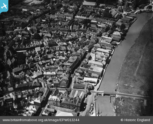
EPW013244 ENGLAND (1925). Sandwich Bridge and Strand Street, Sandwich, 1925. This image has been produced from a print.
© Copyright OpenStreetMap contributors and licensed by the OpenStreetMap Foundation. 2026. Cartography is licensed as CC BY-SA.
Nearby Images (10)
EPW013244

EPW013243

EPW000655

EAW015834

EPW013241

EPW035444

EPW035443

EAW015833

EPW035441

EPW013240

Details
| Title | [EPW013244] Sandwich Bridge and Strand Street, Sandwich, 1925. This image has been produced from a print. |
| Reference | EPW013244 |
| Date | June-1925 |
| Link | |
| Place name | SANDWICH |
| Parish | SANDWICH |
| District | |
| Country | ENGLAND |
| Easting / Northing | 633099, 158272 |
| Longitude / Latitude | 1.342484946626, 51.275320859317 |
| National Grid Reference | TR331583 |
Pins
Be the first to add a comment to this image!
User Comment Contributions
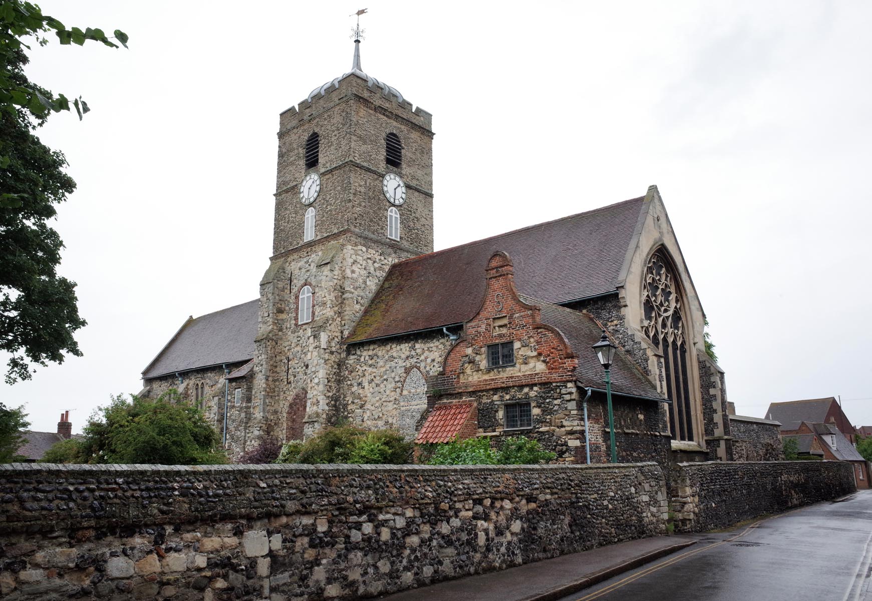
Saint Peter's Church Sandwich |

Alan McFaden |
Tuesday 18th of November 2014 03:59:33 PM |
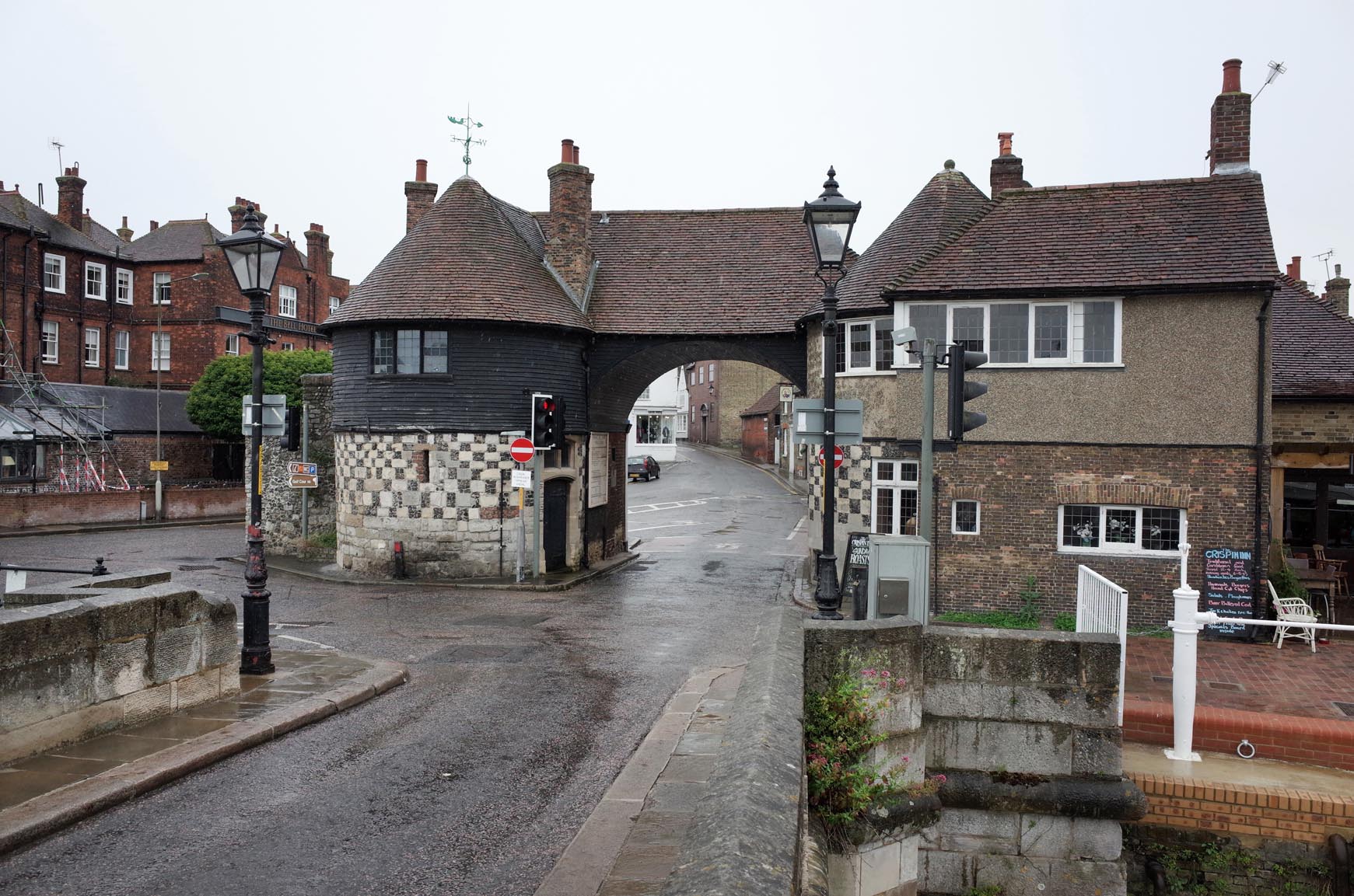
The Toll Gate Sandwich |
Alan McFaden |
Tuesday 18th of November 2014 03:59:00 PM |