
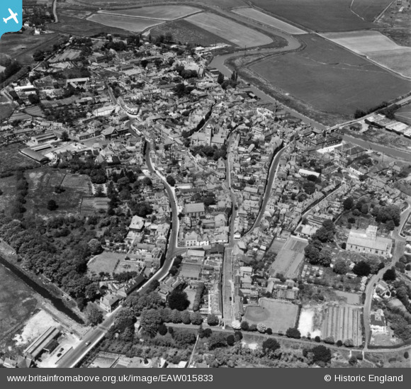
EAW015833 ENGLAND (1948). The town, Sandwich, 1948. This image has been produced from a print.
© Copyright OpenStreetMap contributors and licensed by the OpenStreetMap Foundation. 2026. Cartography is licensed as CC BY-SA.
Nearby Images (10)
EAW015833

EPW035444

EPW013241

EPW035443

EPW013243

EPW035441

EPW013244

EPW000655

EPW013240

EPW035439

Details
| Title | [EAW015833] The town, Sandwich, 1948. This image has been produced from a print. |
| Reference | EAW015833 |
| Date | 19-May-1948 |
| Link | |
| Place name | SANDWICH |
| Parish | SANDWICH |
| District | |
| Country | ENGLAND |
| Easting / Northing | 633111, 158062 |
| Longitude / Latitude | 1.3425197491047, 51.273430667273 |
| National Grid Reference | TR331581 |
Pins

Matt Aldred edob.mattaldred.com |
Saturday 1st of March 2025 10:31:50 PM |