
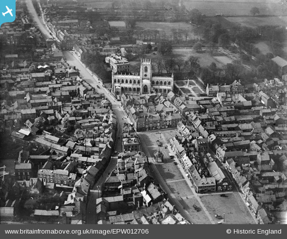
EPW012706 ENGLAND (1925). The Market Place and St Mary's Church, Beverley, 1925
© Copyright OpenStreetMap contributors and licensed by the OpenStreetMap Foundation. 2025. Cartography is licensed as CC BY-SA.
Nearby Images (6)
EPW012706

EPW012707

EPW012708

EPW012705

EPW012709

EPW023160

Details
| Title | [EPW012706] The Market Place and St Mary's Church, Beverley, 1925 |
| Reference | EPW012706 |
| Date | 6-May-1925 |
| Link | |
| Place name | BEVERLEY |
| Parish | BEVERLEY |
| District | |
| Country | ENGLAND |
| Easting / Northing | 503185, 439717 |
| Longitude / Latitude | -0.43152310703223, 53.84322443453 |
| National Grid Reference | TA032397 |
Pins
 Psteel |
Tuesday 4th of August 2020 07:47:34 AM | |
Psteel |
Tuesday 4th of August 2020 07:42:41 AM | |
 Mark |
Wednesday 4th of March 2020 10:06:39 PM | |
Mark |
Wednesday 4th of March 2020 10:04:56 PM | |
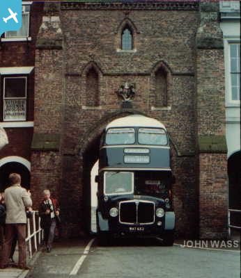 |
John Wass |
Friday 29th of May 2015 11:39:33 AM |