
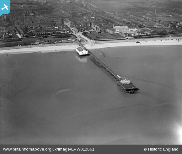
EPW012661 ENGLAND (1925). The pier, Cleethorpes, 1925
© Copyright OpenStreetMap contributors and licensed by the OpenStreetMap Foundation. 2025. Cartography is licensed as CC BY-SA.
Nearby Images (3)
EPW012661

EPW031920

EPW031924

Details
| Title | [EPW012661] The pier, Cleethorpes, 1925 |
| Reference | EPW012661 |
| Date | 6-May-1925 |
| Link | |
| Place name | CLEETHORPES |
| Parish | |
| District | |
| Country | ENGLAND |
| Easting / Northing | 530924, 409014 |
| Longitude / Latitude | -0.023096009062141, 53.561145343871 |
| National Grid Reference | TA309090 |
Pins
Be the first to add a comment to this image!
User Comment Contributions
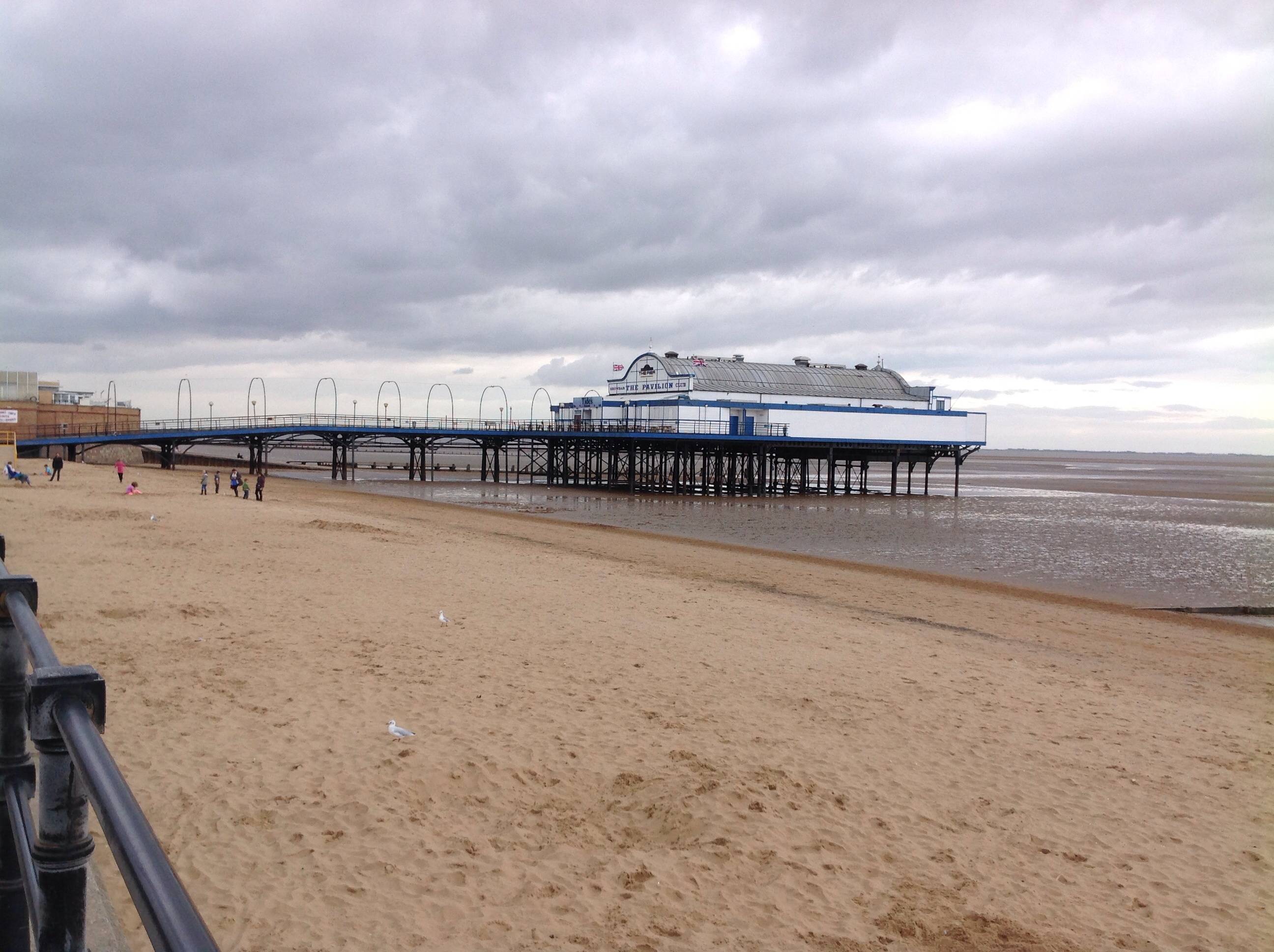 Cleethorpes Pier, 29/08/2014 |
 Class31 |
Friday 29th of August 2014 08:58:38 PM |