
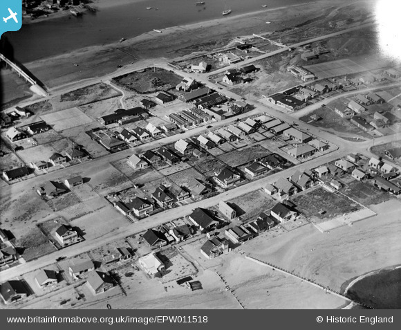
EPW011518 ENGLAND (1924). The Meadway and environs, Shoreham-by-Sea, 1924
© Copyright OpenStreetMap contributors and licensed by the OpenStreetMap Foundation. 2026. Cartography is licensed as CC BY-SA.
Nearby Images (5)
EPW011518

EAW022247

EAW022246

EPW018711

EPW018713

Details
| Title | [EPW011518] The Meadway and environs, Shoreham-by-Sea, 1924 |
| Reference | EPW011518 |
| Date | July-1924 |
| Link | |
| Place name | SHOREHAM-BY-SEA |
| Parish | |
| District | |
| Country | ENGLAND |
| Easting / Northing | 521711, 104616 |
| Longitude / Latitude | -0.27164775822829, 50.827709736004 |
| National Grid Reference | TQ217046 |
Pins

Alan McFaden |
Monday 2nd of December 2013 08:48:21 PM | |
|
Alan McFaden |
Monday 2nd of December 2013 08:46:32 PM |

